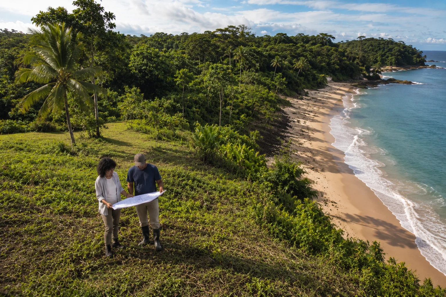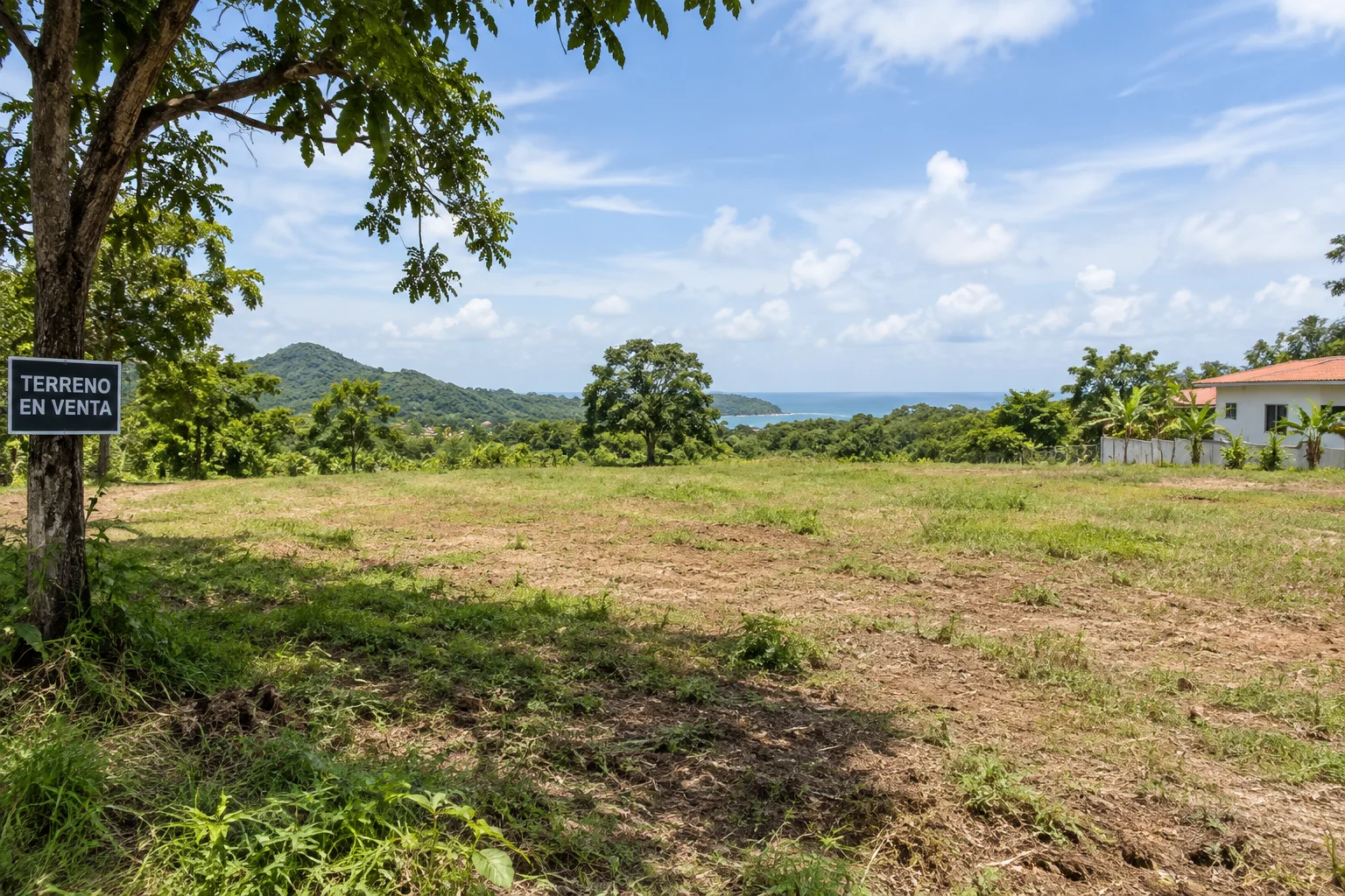
A piece of land can have the perfect view, the right price and the exact size you need — and still be hiding something that only shows up once someone reviews it with a technical eye.
That is exactly what happened to a client who contacted us about a 6,718 m² lot in inland Panama. On paper, everything checked out: good location, generous area, an existing house with remodeling potential. The question she brought us wasn't "do I like this land?" — it was "can I trust it?"
This guide walks through everything you should verify before committing to land in Panama — what you can check yourself, and what only shows up with a technical field diagnosis.
01 Start with your project, not the land
Before visiting properties, get a rough idea of what you want to develop: a house, a cabin, a tourism project. You don't need a finished design — but you do need a reasonable sense of scale. Land that works perfectly for a house can be completely unsuitable for a 20-room hotel, and vice versa.
02 Location: is it actually where you think it is?
"5 minutes from the beach" is the most misleading phrase in Panama's land market. Check 5 minutes by what means and by what road — 5 minutes in a 4x4 on a dirt track is not the same as 5 minutes on paved road. Before visiting, check the map for the approximate time from the airport, the nearest town, the main highway and basic services.
03 Access: the land has to actually be reachable
Cheap land can stop being cheap once you have to build or upgrade the entire access road. If the seller says "the access will be built," "the neighbors let people through," or "in the dry season you can get there fine" — don't treat that as resolved.
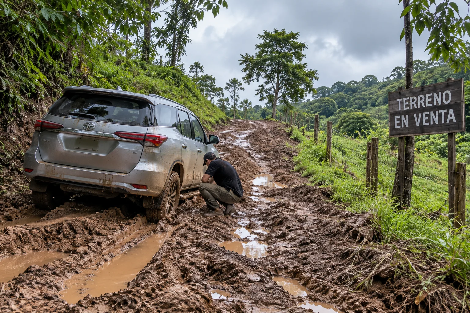
This isn't a theoretical risk. During the site visit to this land, the technical team's own vehicle lost traction on the access road — a finding that by itself requires evaluating the surface, grade and drainage of the road, especially in rainy conditions, before assuming access is settled. It's exactly the kind of detail that shows up on no map and in no conversation with the seller, and that only gets confirmed by being there.
04 Water: one of the first questions
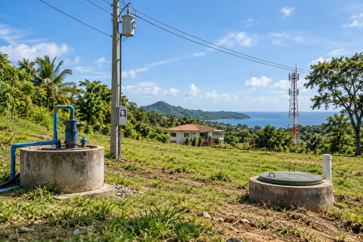
Where does the water come from — IDAAN, a community aqueduct, a well, a river? And more importantly: is there enough for the project you have in mind? A well having water is not the same as its capacity being proven: a pump test is the only way to confirm whether a well can meet real demand, present and future. If the answer isn't clear, don't rule the land out yet — but don't call it viable either.
05 Electricity, water supply, sewage and internet
Four infrastructure questions almost no one checks before buying, and that can completely change a project's budget:
Electricity. A nearby pole doesn't mean there's available capacity. You need to confirm with the utility (ENSA, in the Pacific and interior) whether there's an active connection, whether service is single-phase or three-phase, and whether there's additional capacity on the local grid for an expansion. If there's already a house with active service, ask the seller for the account number — with that you can verify directly with the utility the account status, consumption history and contracted capacity, instead of taking anyone's word for it.
Water supply or well. If there's no nearby IDAAN network, the usual alternative is a well — but water being present doesn't confirm the flow rate is enough for the project. Only a pump test determines the sustainable yield, how much the water table drops under continuous pumping, and whether that flow is enough for real demand, present and future.
Sewage or septic system. This is one of the most frequently overlooked points — and one of the most expensive to fix later. If the land has an existing house, ask specifically where its septic tank or treatment system is. If the seller can't answer precisely, or there's no visible evidence on the ground (manholes, inspection chambers), don't assume the system exists or is in good condition. This is especially critical if there's a stream or body of water nearby, since sanitary regulations require a minimum distance between any treatment system and a watercourse.
Internet and cell coverage. Before asking anyone, Panama's public utilities authority (ASEP) has a public National Infrastructure Explorer that shows national fiber-optic routes and cell tower (RBS) locations by area. It's one of the few checks on this list you can do yourself, from home, before ever visiting the land — and it gives you a reasonable first read on whether there's fiber nearby and mobile coverage in the area.
06 The land: how much can you actually use?
One of the most common mistakes. Land can have thousands of square meters on paper and only a fraction of that actually available to build on, once you subtract steep slopes, embankments, streams, wetlands, flood-prone areas, rock outcrops and dense vegetation.
It's worth distinguishing four categories, which are rarely the same area: land already cleared or developed, land with forest cover (which isn't automatically "available" just because there's no structure on it), land that's potentially suitable from a topographic and geotechnical standpoint, and finally land that's legally buildable once zoning, coverage, height and setbacks are applied. Confusing any of the first three with the fourth means, in practice, overestimating how much you can actually build.
07 Topography: flat isn't always better
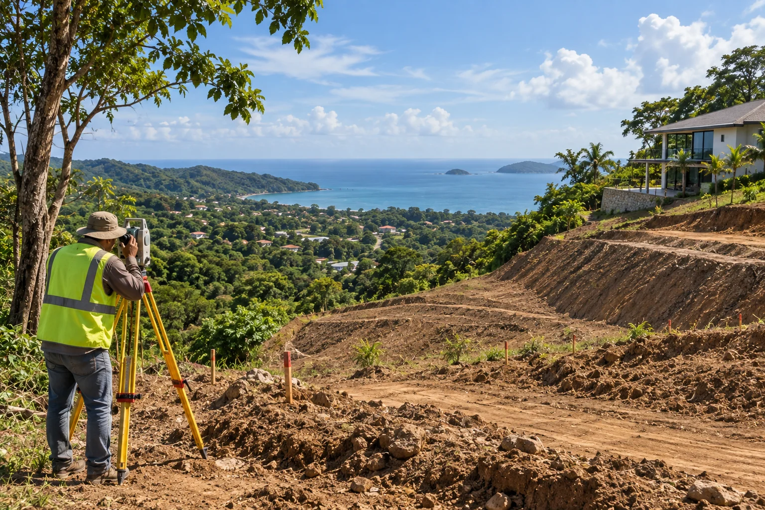
A slope can offer views, privacy and more interesting architecture — but it can also significantly increase earthwork, retaining walls and costs. The key question isn't whether the land has a slope, it's whether that topography works in the project's favor or forces you to fight the land.
It's also important to understand the limits of the topographic information used in a first remote assessment: publicly available satellite elevation models have a resolution of tens of meters — enough for a general read on slopes, but unable to detect a localized embankment or minor topographic feature. That level of detail only comes from a precise field survey — and it's almost always one of the first studies worth commissioning.
08 Title and ownership
If land is sold with phrases like "possession rights," "title in process," or "it's being legalized," don't treat it as titled land without investigating. That doesn't necessarily mean it can't be bought — but it completely changes the level of verification needed before moving forward.
Even with a valid Folio Real (title record), it's worth checking the consistency between the individual property survey and any earlier general subdivision plan it originated from. It's not unusual to find area differences between the two documents — usually small, under 1% — but still worth identifying and clarifying with a licensed surveyor before closing, rather than discovering them afterward.
09 Zoning: the question that can save you months
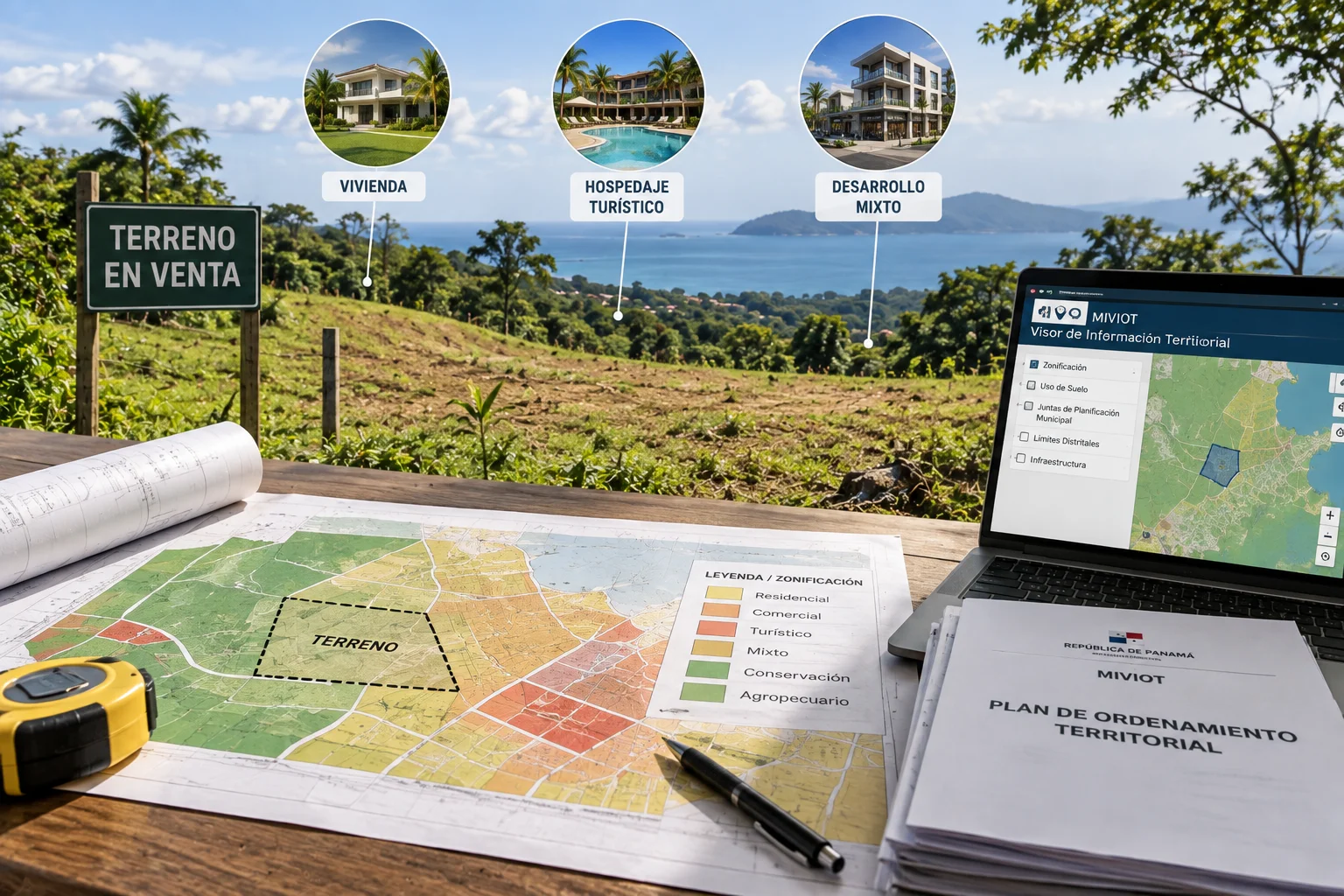
It's not enough for the seller to say "you can build here." You need to check specifically whether the use you intend for the land — housing, tourist lodging, mixed-use development — is permitted in that zone.
In Panama, formal confirmation of construction parameters normally goes through the district's Municipal Planning Board (Junta de Planificación Municipal). But not every board is constituted and operating: the national planning ministry's territorial information viewer lets you check each board's status, and it's not unusual to find districts where the board is listed as "not yet constituted — in process." That doesn't automatically block a project, but it does change the institutional route for confirming zoning and parameters — and it's exactly the kind of thing to verify before buying, not after.
The golden rule: don't buy first and ask afterward whether you can build the project.
10 What the checklist can't tell you
Everything above is an honest first filter: it tells you what to investigate, not how to interpret it. That's exactly where most buyers stop — with a list of yellow flags and no way to know which ones are serious.
-
01 · An embankment isn't automatically a problem
It depends on distance, slope, and what a geotechnical assessment says. A steep drop near a boundary line doesn't disqualify land on its own. The right technical question combines several variables: the actual slope angle, the drop in meters, the distance to where you'd actually build, and whether the registered easement along that edge was defined — or not — with that instability in mind. None of those answers come from a visual inspection alone.
-
02 · Two surveys can state two different areas for the same land
The historical subdivision plan and the current title record don't always match — and when they don't, you need to know which one legally prevails and why. The difference is usually small in percentage terms, but it's exactly the kind of detail a licensed surveyor should confirm before closing, not a minor detail to ignore.
-
03 · "You can build here" doesn't always have someone to confirm it
When a district's Municipal Planning Board isn't constituted, the usual path for confirming construction parameters changes — and no one should assume an answer that no authority has actually given yet.
"A serious diagnosis doesn't tell you whether you like the land. It tells you whether you can trust what you're looking at."
11 A real case
In the field diagnosis of that lot — 6,718 m² per the title record — we found several of exactly these scenarios, with concrete data behind each one.
The embankment. A stream runs along one of the lot's boundaries, and along that edge the field team identified a steep embankment: a 60°–65° slope, with a drop of roughly 6 meters over just 3.2 meters of horizontal projection — nearly vertical. The official cadastral plan also shows a 3.00 m easement from the top edge of the embankment to the property line. That figure matches, in magnitude, the embankment's own horizontal extent — suggesting the easement may have been defined precisely to cover that unstable zone. But matching in magnitude isn't the same as confirming it covers the real safety margin: the design setback needs to be assessed from the actual edge of the ravine, with a geotechnical engineer's judgment, not by assuming the cadastral easement already resolves safety. That assessment, in this case, remains pending — documented not as a "no" or a "yes," but as a verification needed before defining where it's safe to build near that edge.
The existing house — and with it, the area already developed and easiest to build on — sits at the opposite end of the lot, at a greater relative distance from the stream and the embankment. That supports a conservative design approach: concentrate any intervention on the already cleared area (roughly 22% of the lot) and treat the remaining 78%, under forest cover, as an environmental asset to preserve, not as buildable land in reserve.
The area discrepancy. The individual property survey, checked against the title record, reports 6,718.00 m². The historical general subdivision plan the lot originates from, however, lists 6,771.81 m² for the same lot — a difference of 53.81 m², or about 0.80%. It's a small difference, but a real one, and the criterion adopted in the diagnosis was clear: for this assessment, the title record's registered area prevails, leaving the general plan's figure as historical background — with final clarification pending from a licensed surveyor.
The Municipal Planning Board. According to the national planning ministry's territorial information viewer, the relevant district's Municipal Planning Board was listed, as of the date checked, as "not constituted — in process." This doesn't block the project, but it does change the institutional route for confirming zoning, permitted use and construction parameters — a step that would otherwise have been assumed resolved by default.
Access, as mentioned earlier, was documented with a very concrete finding: the technical team's own vehicle lost traction during the visit — direct evidence that the road needs attention to surface, grade and drainage before it can be considered settled year-round.
Basic infrastructure turned out to be the category with the most open questions. The existing well does have water — confirmed in the field with a sounding test — but a pump test, still pending, was quoted, without which there's no way to confirm the flow rate is enough for the expanded house and an eventual second unit. The wastewater system came out as the highest-priority finding of the entire diagnosis: no septic tank or visible evidence of a treatment system was found in the field, and the seller, asked directly, couldn't say where it was located — a gap that's especially delicate given the stream's proximity. Electrical capacity was left just as open: no confirmation from the utility on service type or available capacity on the local grid. The one thing that could be verified without a site visit at all — using ASEP's National Infrastructure Explorer — was the proximity of national fiber-optic routes and cell towers, suggesting mobile coverage in the area, though that's not a confirmation of internet service itself.
None of these findings, on its own, is automatic grounds for walking away. But together, they form exactly the kind of picture that determines whether land is viable without conditions, viable with specific conditions, or simply not worth it. This diagnosis didn't end in a simple yes or no: it concluded potentially recommendable purchase, conditional on due diligence — with a prioritized list of pending verifications (high, medium and low), from the actual setback applicable to the stream to the correct provincial designation on the title record. That's almost always the most honest answer a piece of land can give you.

Download the complete guide
We put together the questions we use as a first filter into a downloadable guide — including a "quick filter" page to evaluate every piece of land you visit, and the 5 questions that can save you the most time before investing in one.
· If you have land in mind
The checklist will tell you whether it's worth investigating further. The feasibility diagnosis goes further: it reviews the land with the same rigor you'll later build with, classifies findings by risk level, and delivers a clear conclusion you can make an informed purchase decision on.
This is a paid professional service from the first visit — not a generic quote. A serious diagnosis requires field time, technical analysis and real professional accountability.